Km 1248 to km 1411, from around Zabljac (Montenegro) to Kalinovik (Bosnia & Herzegovina).
Day 38
31/05/2022 – 39km
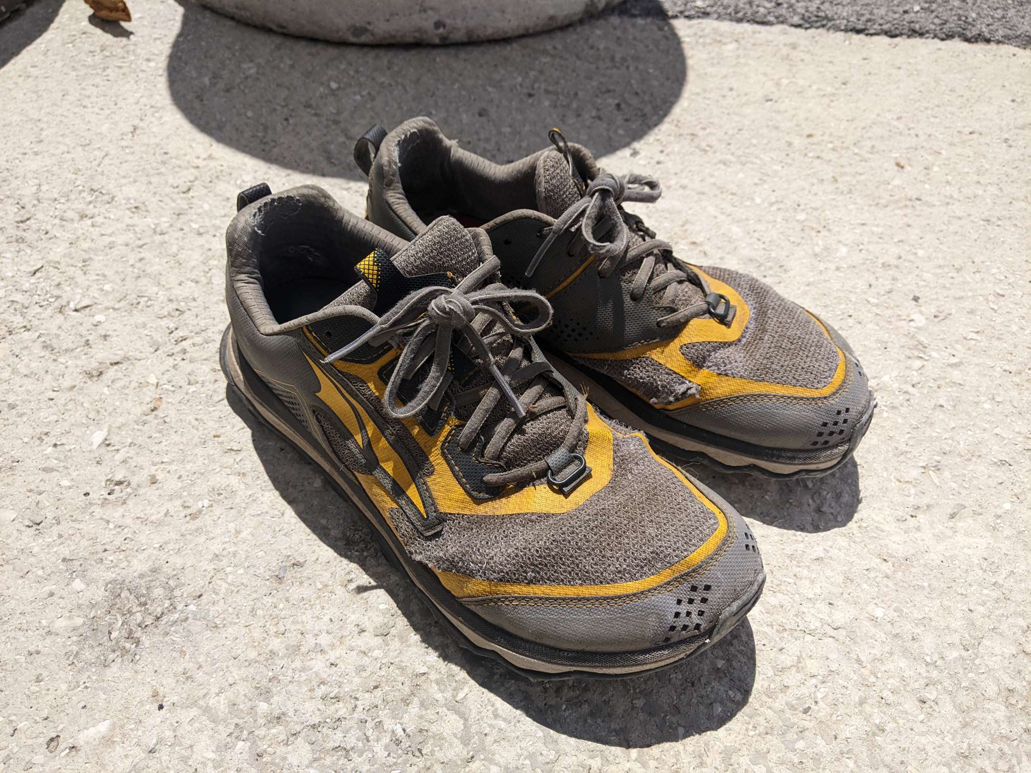
Around lunchtime I reached the town of Zabljak to resupply. My next stop is 137km away, and needing the bag space I binned my beloved Altras. It was a sad moment.
I cheered myself up with a pizza and WiFi (downloading lots of podcasts and audiobooks, backing up my photos, etc).
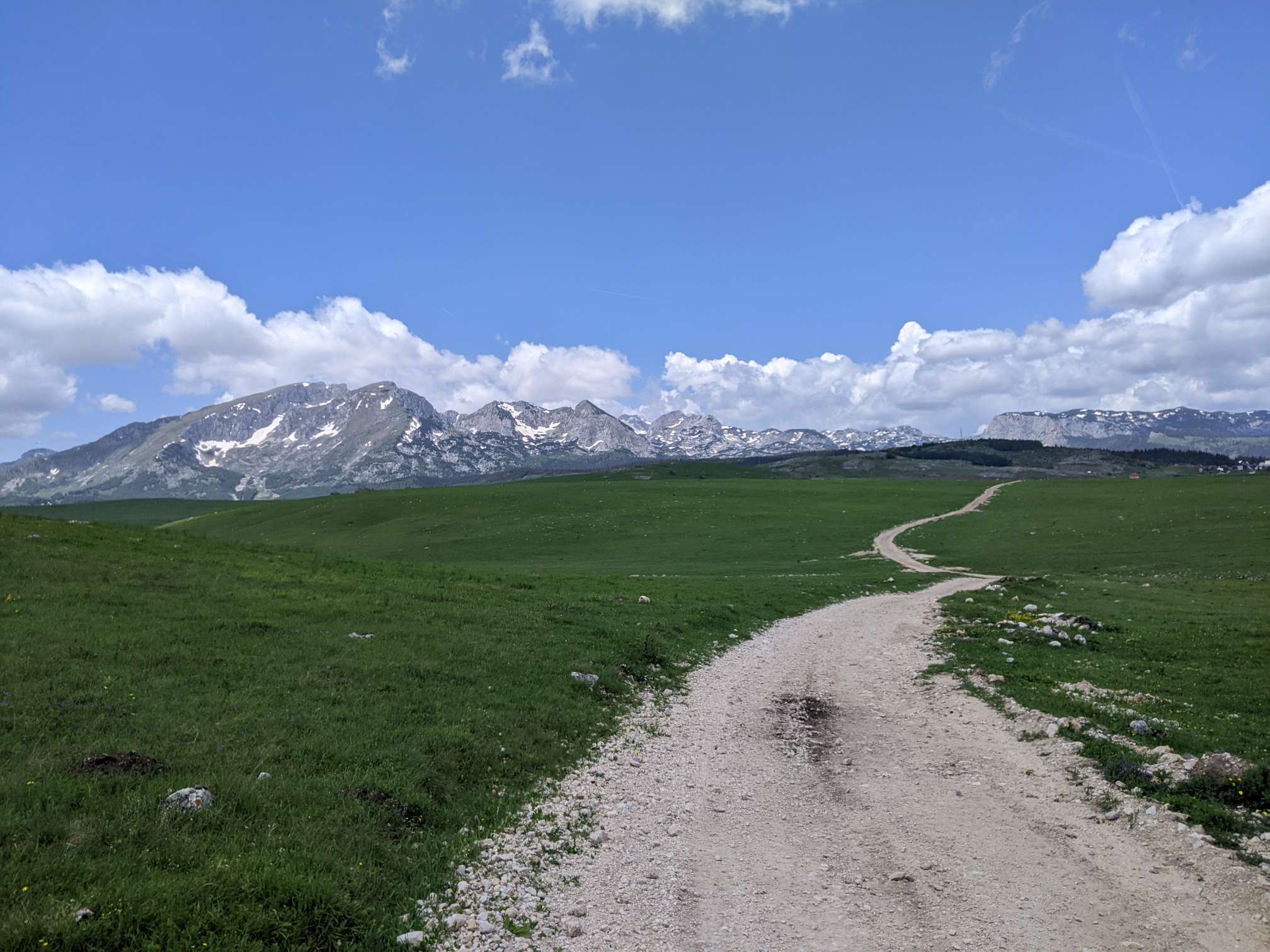
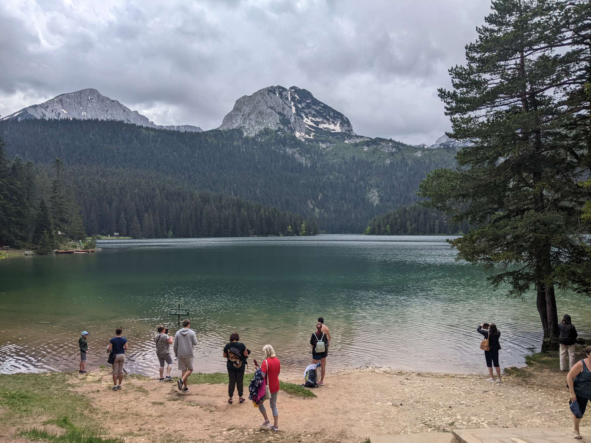
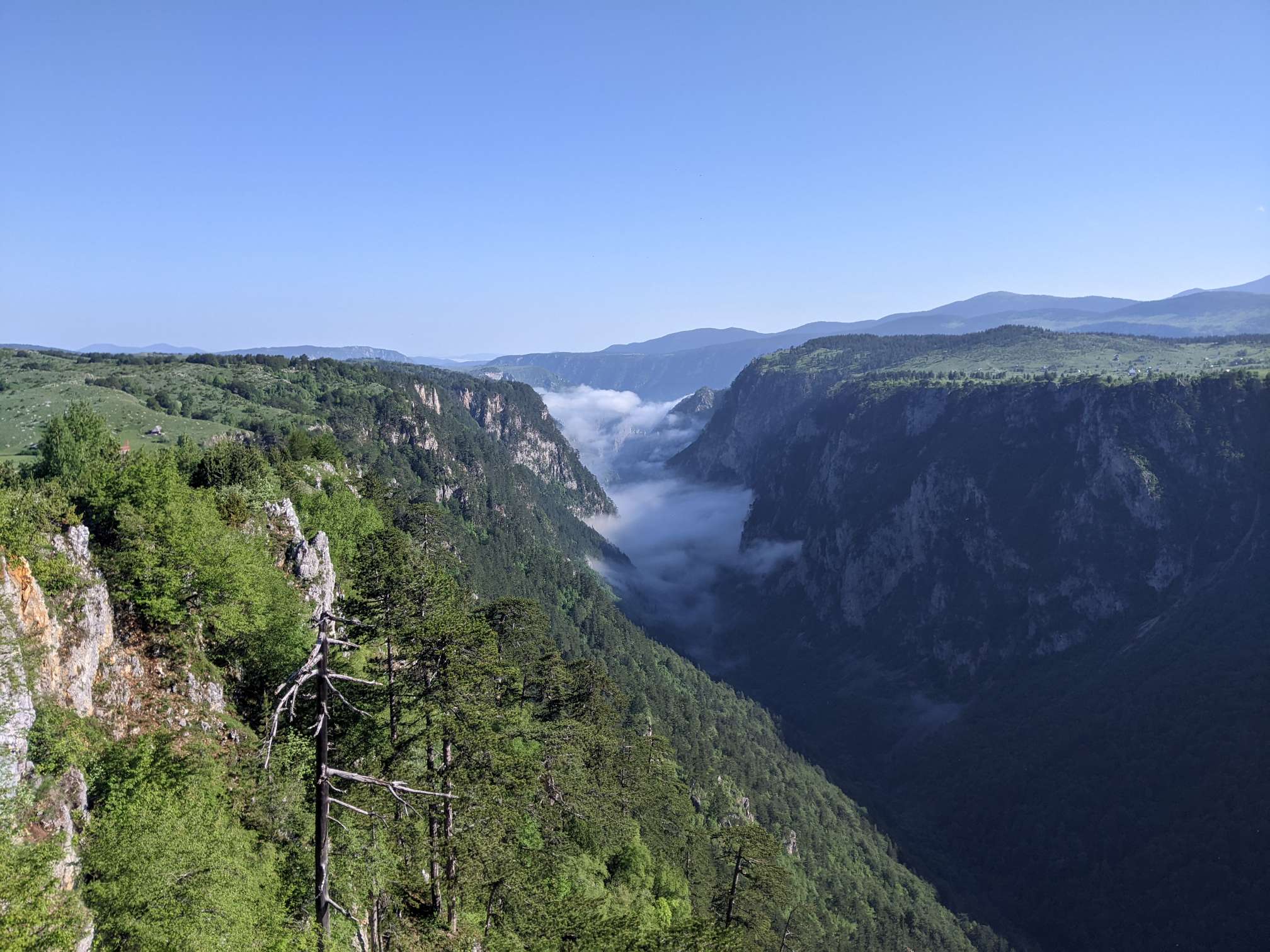
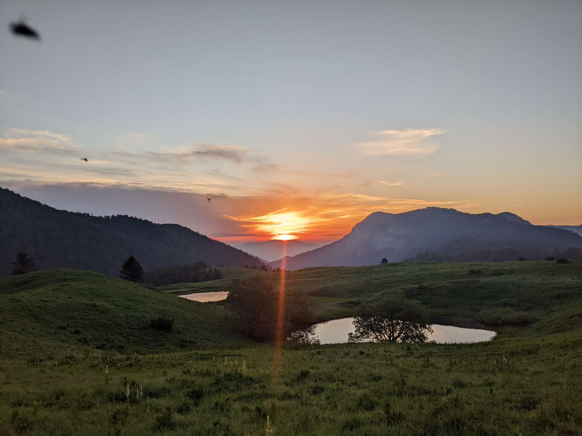
Both Zabljak and the national park it neighbours (Durmitor) reminded me of North America, particularly the Canadian Rockies.
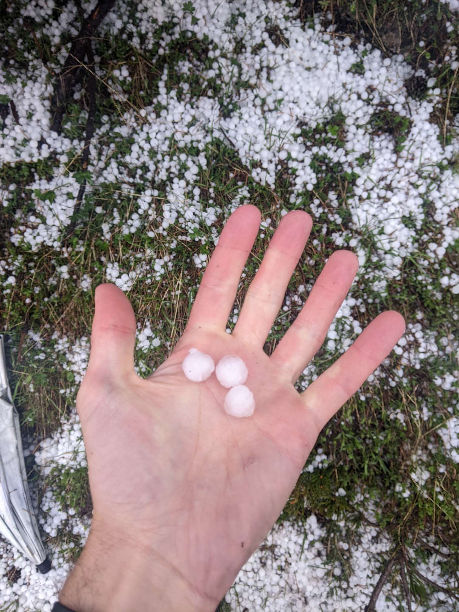
I left the throng behind as I ascended the next pass. On my way up, an afternoon storm rolled by and I was forced to take cover from the musketball sized hail until it was over. Another point for the umbrella.
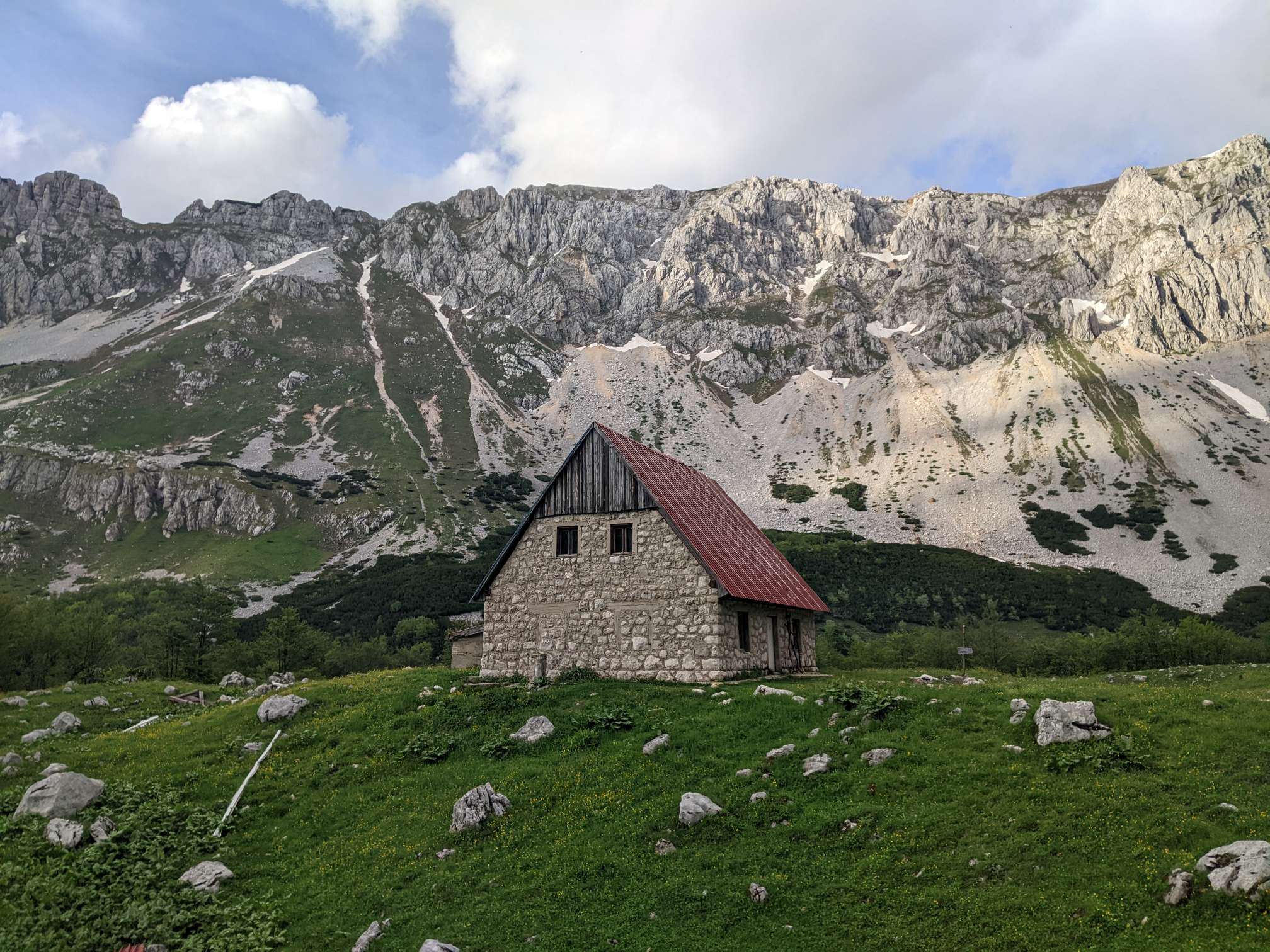
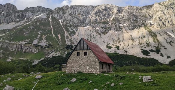
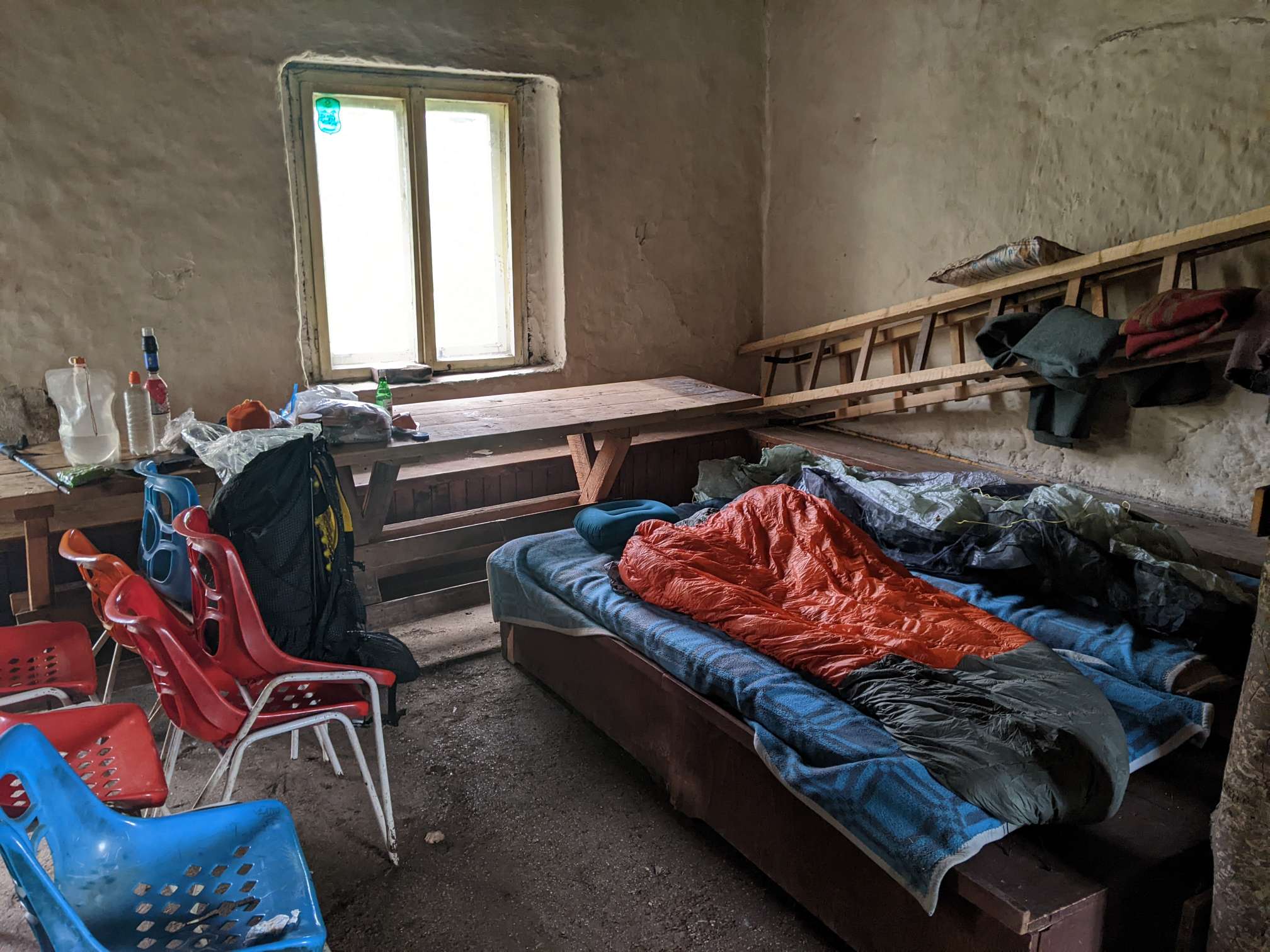
Tonight I’m in a rundown hut. It’s okay, but it’s very noticeable how I feel uncomfortable in these semi-abandoned buildings alone, but with a friend it would be quite nice.
Day 39
01/06/2022 – 47km
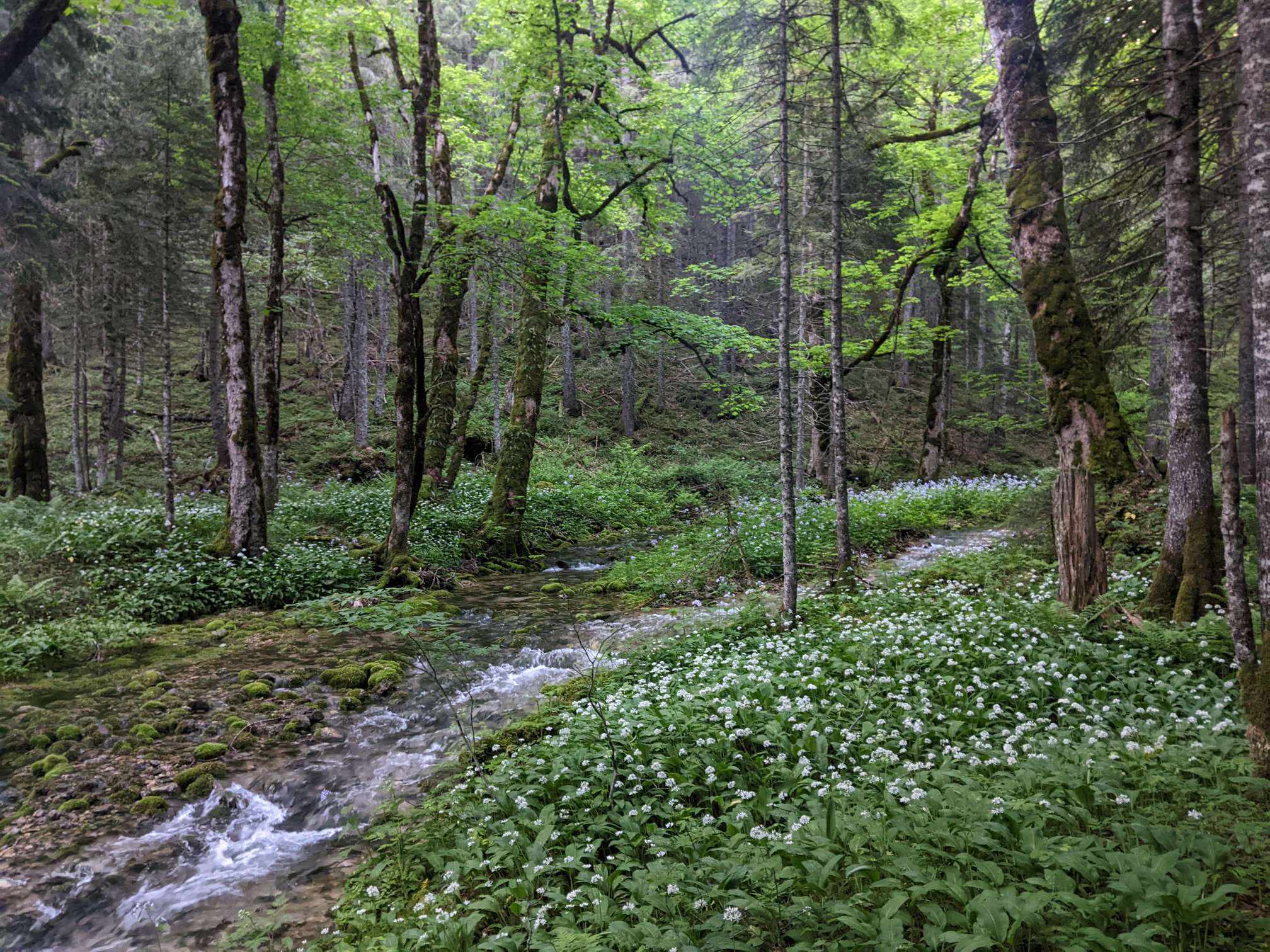
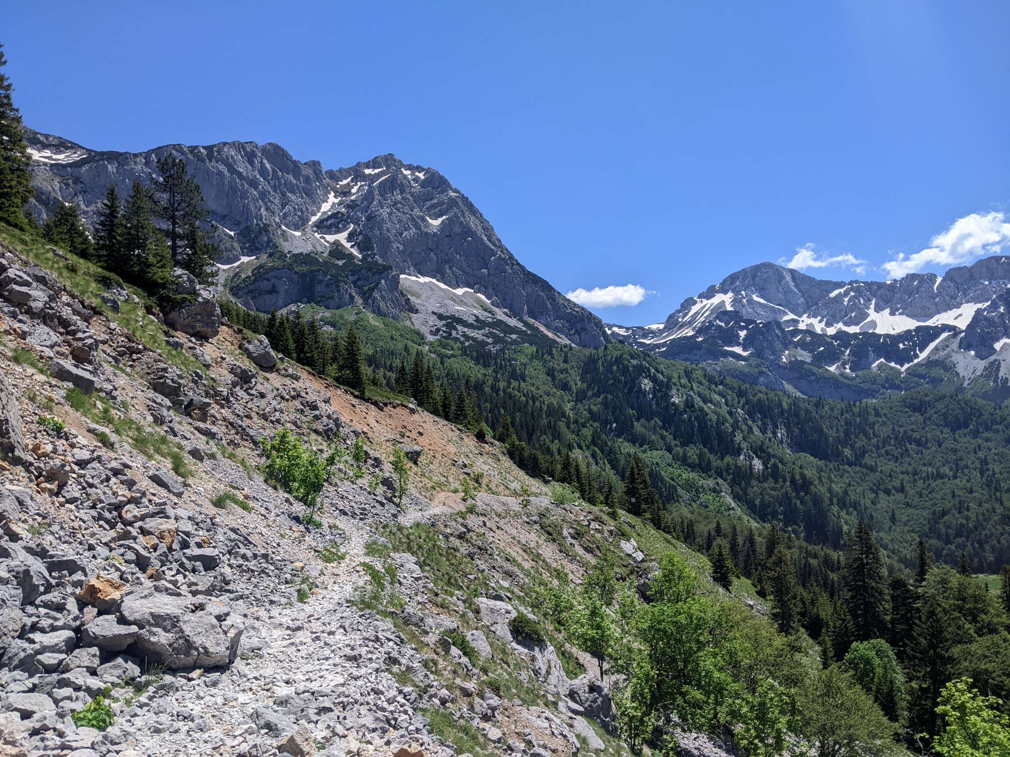
Walking the gap between Durmitor and Sutjeska national parks.
For lots of the countryside I passed through it had an odd smell. To me it seemed similar to pipe tobacco, which isn’t something I’ve smelled in a long time. I’m not sure what plant (presumably it was a plant) was the cause.
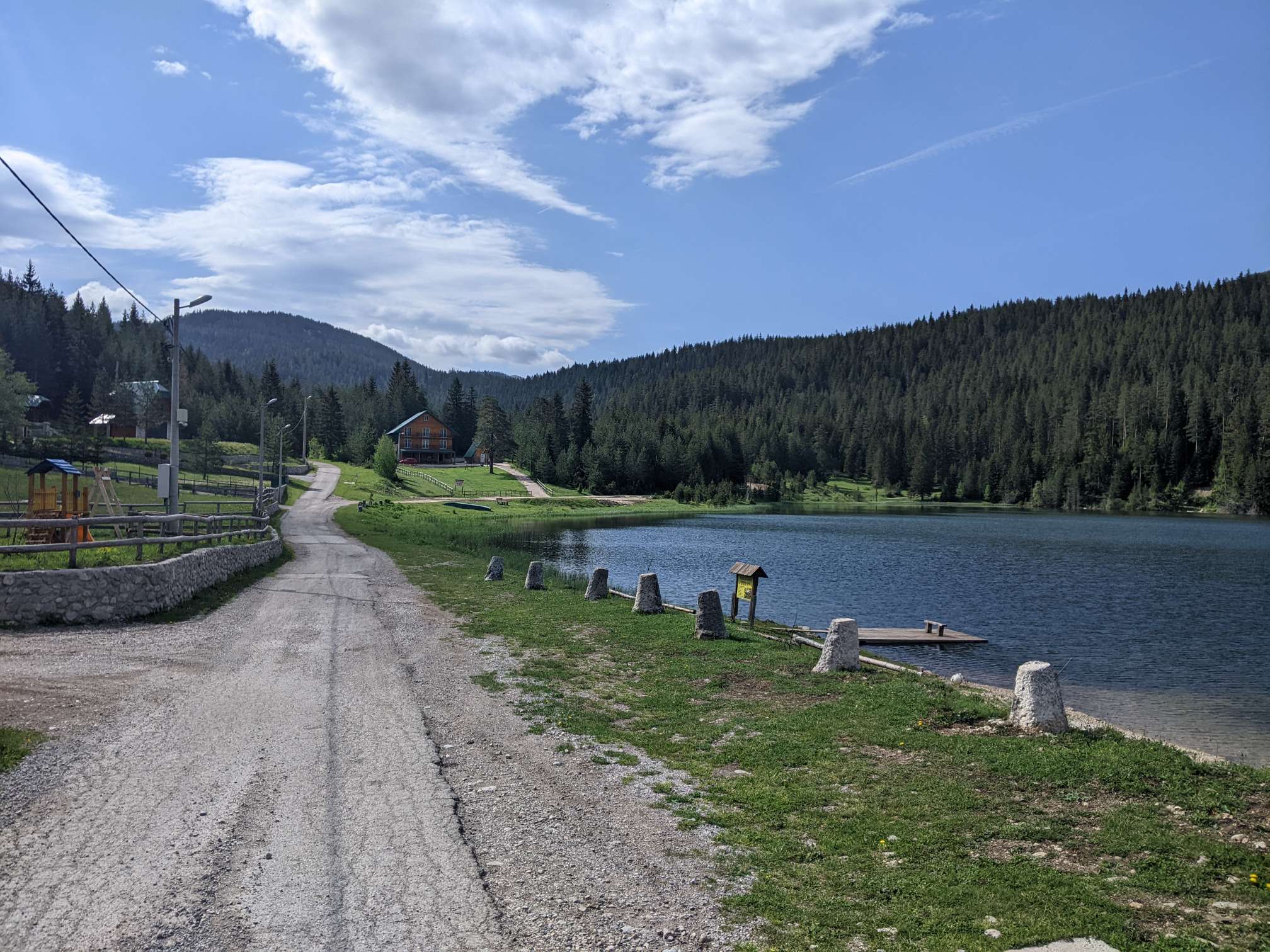
Generally an uneventful day. I passed over the Mrantinje dam, which looked quite impressive.


Day 40
02/06/2022 – 38km
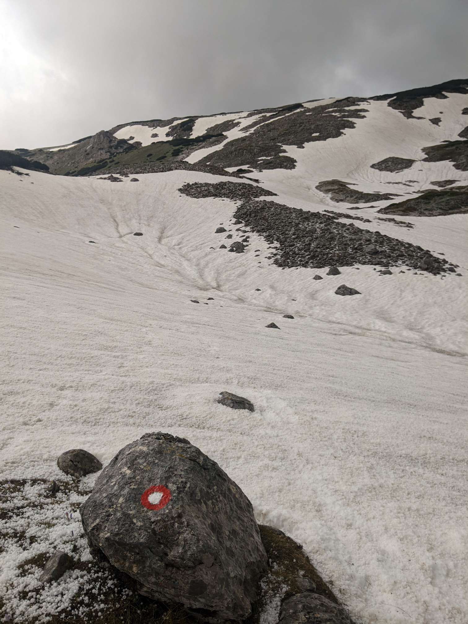
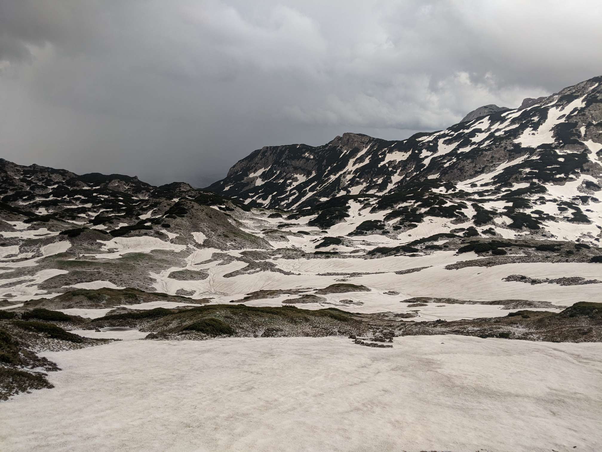
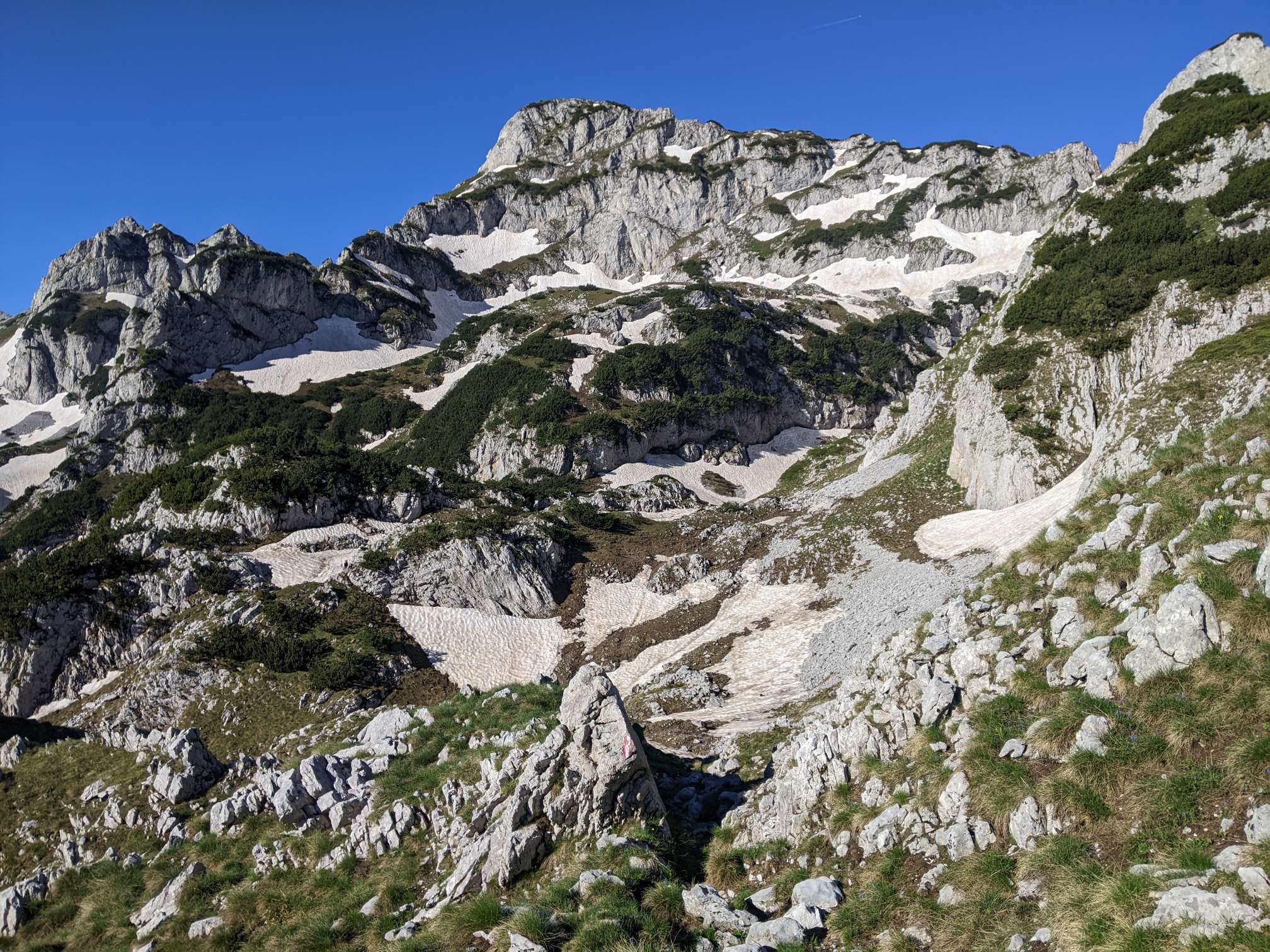
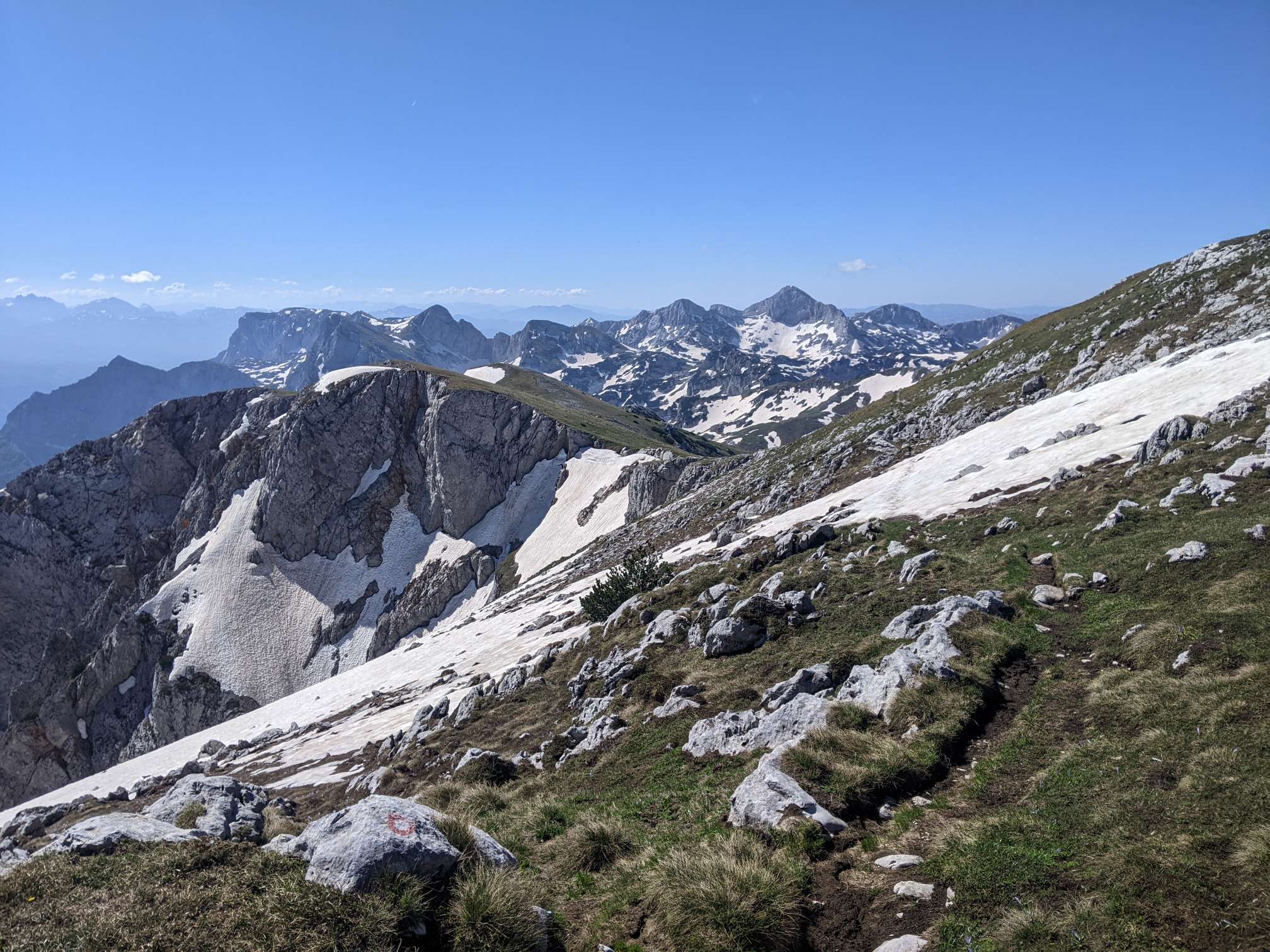
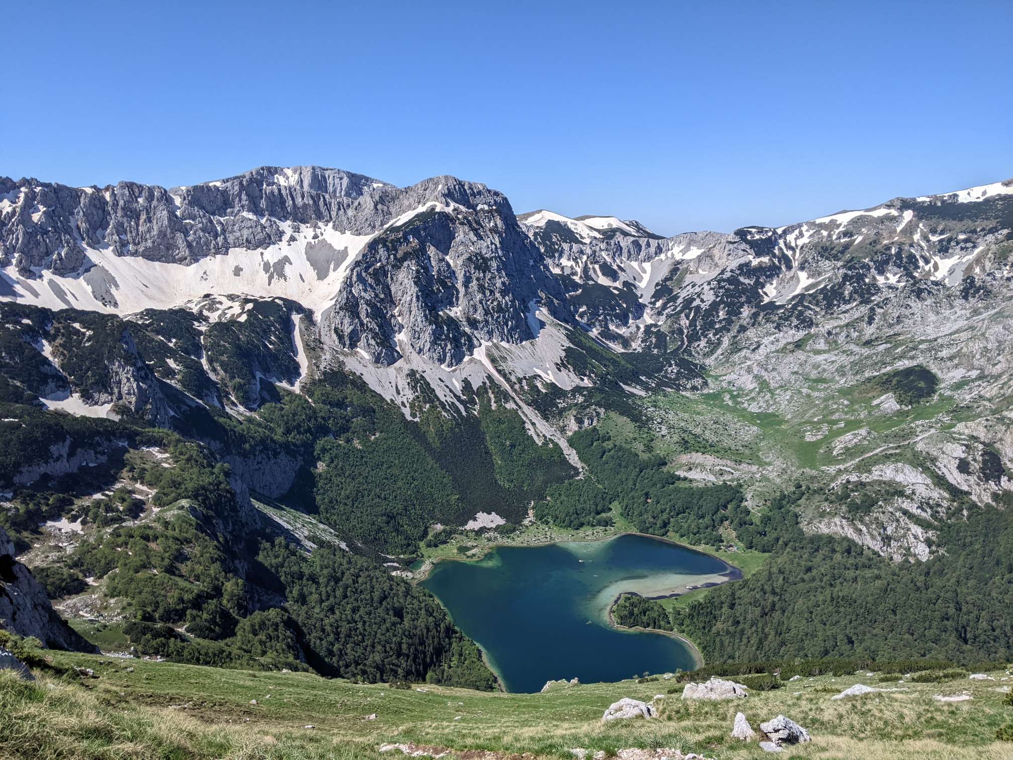
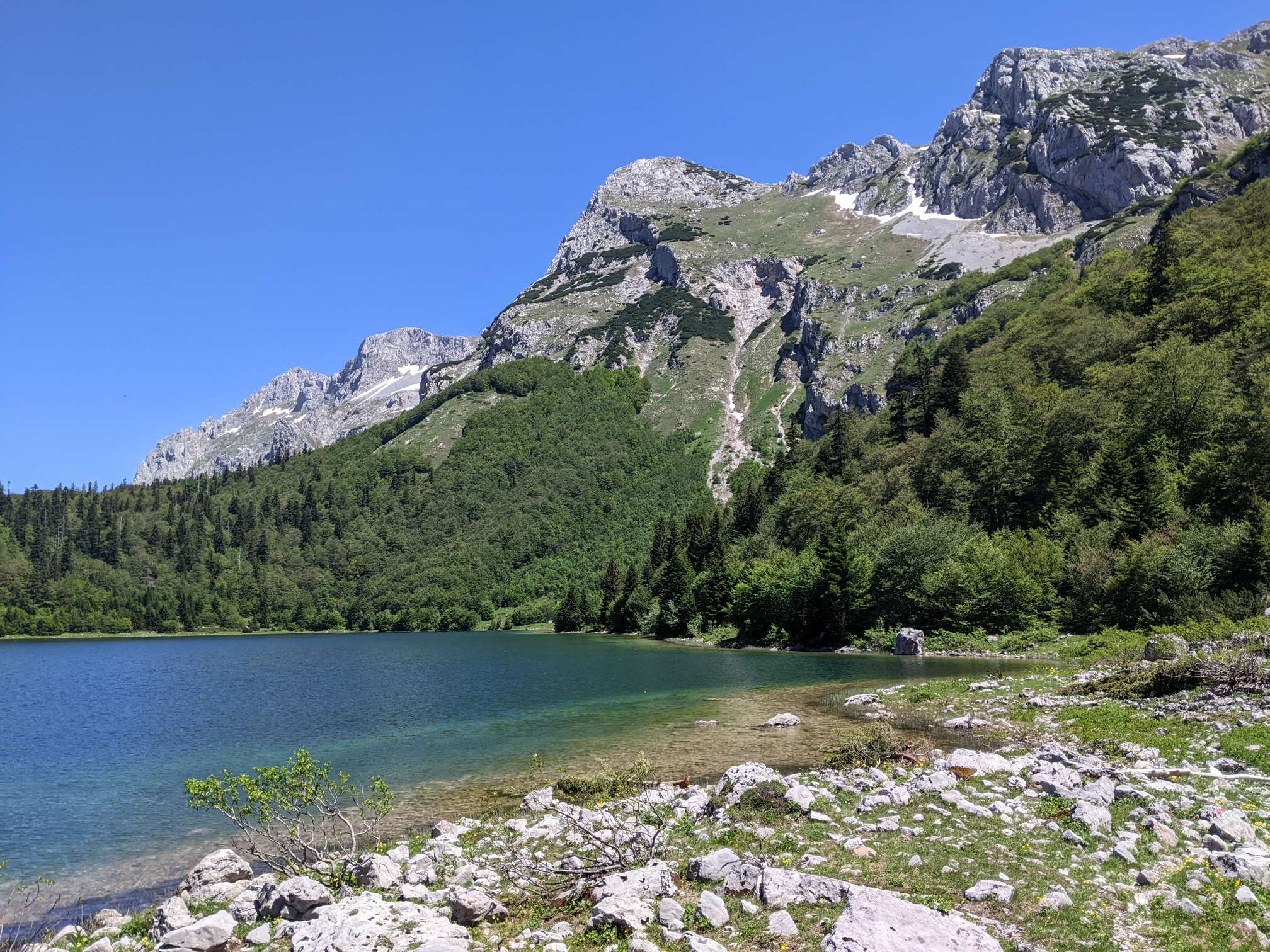
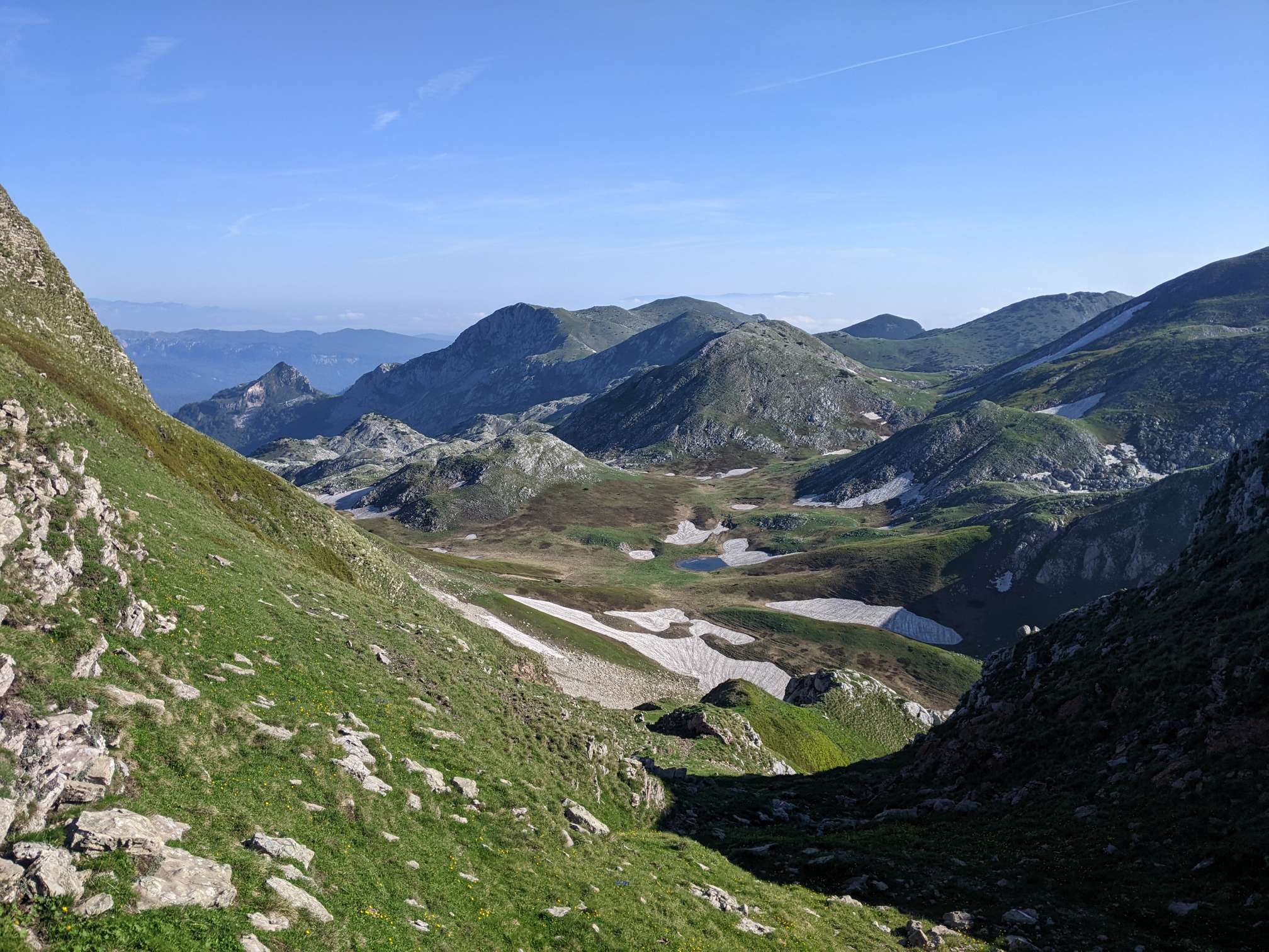
Day 40 began with the climb up to Maglić, the highest peak in Bosnia and Herzegovina. It was slow going but beautiful.
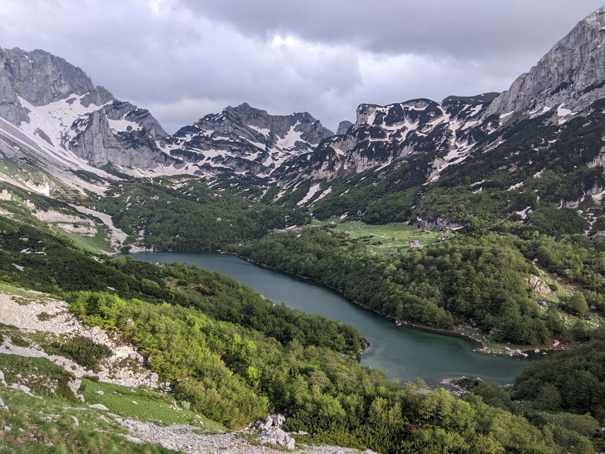
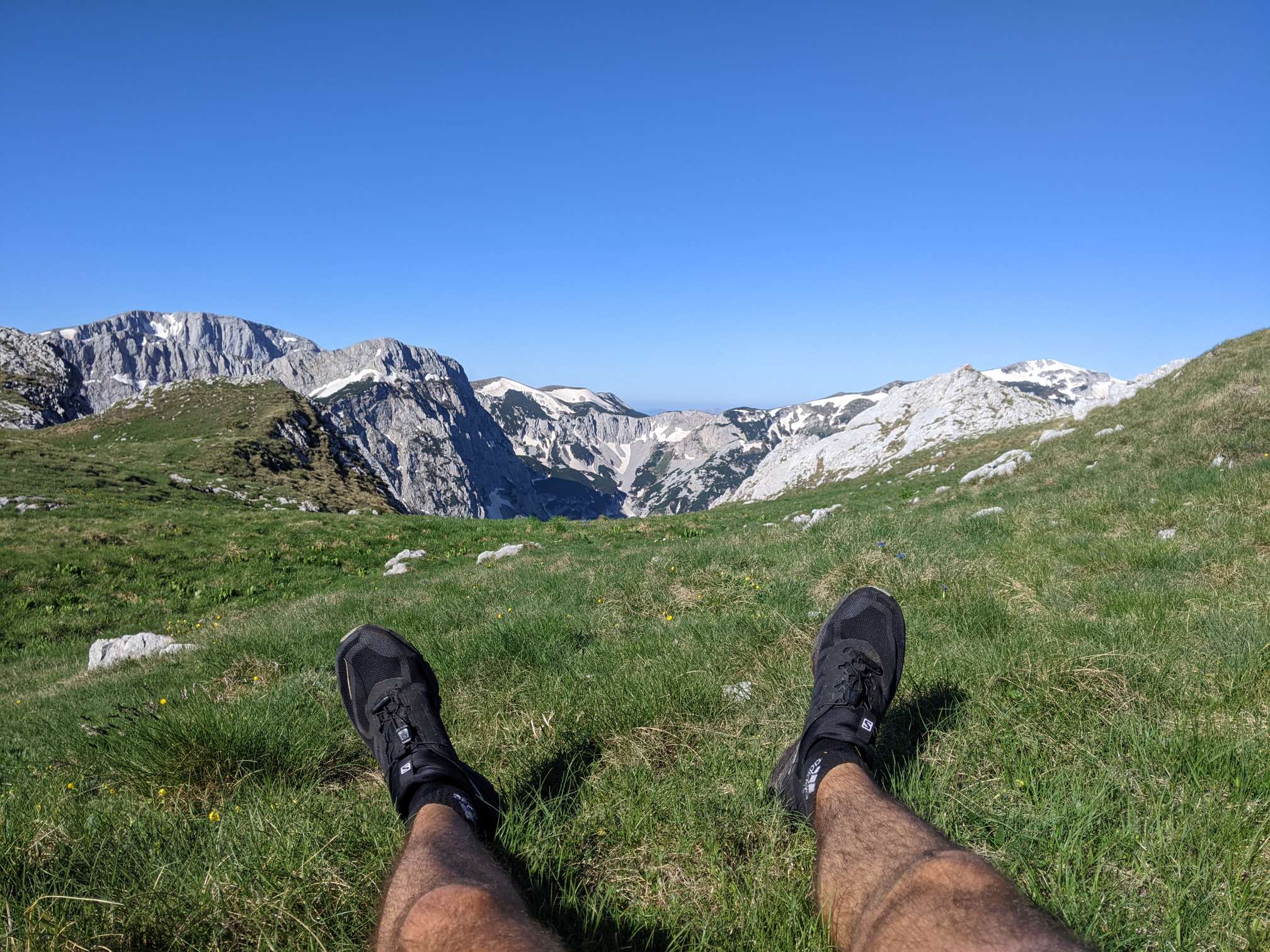
At the base of the mountain is Trnovačko lake, where I took a refreshing and much needed dip.
Later on in the day I passed my first other Via Dinarica (section) hikers, going the other way. We chatted for a while until the numerous mosquitoes forced us to head in our opposing directions.
Not quite the distance I’d hoped achieve today, given the slow climb and descent in the morning. I’m running a little low on food, and have to do a little bit of rationing. Next time I’ll try to carry a little more contingency food.

Day 41
03/06/2022 – 39km
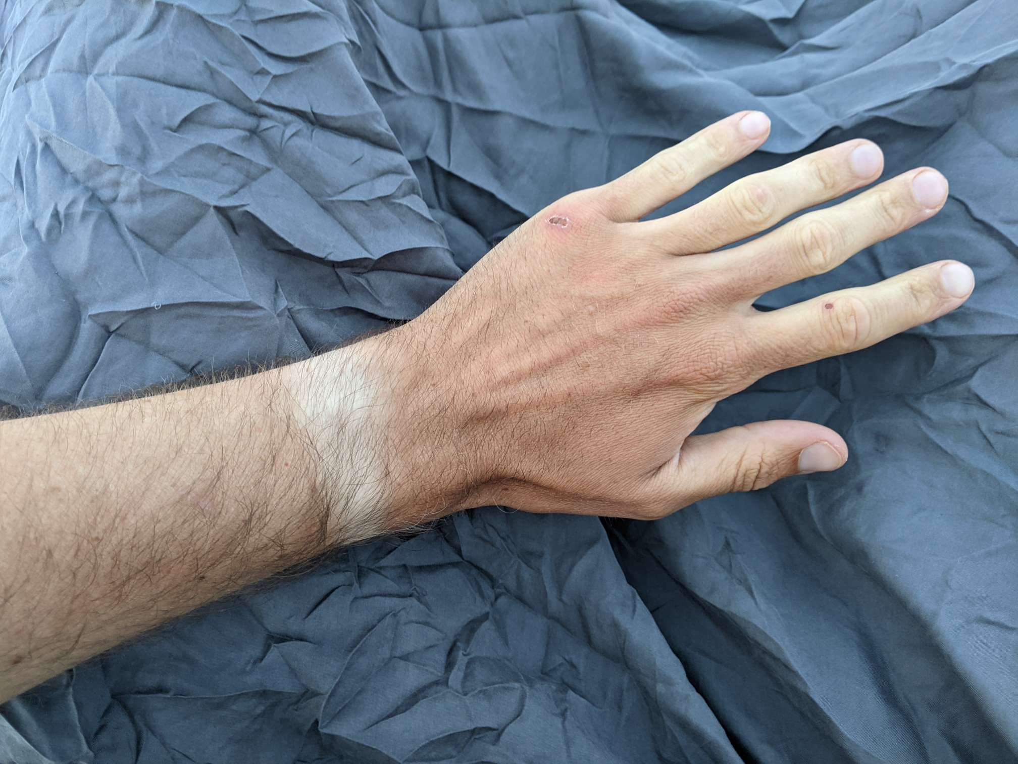
For most of the day I was followed by mosquitoes. Often I thought they’d gone, but shortly after stopping they would materialise.
The trail marking for the Via Dinarica is a bit hit and miss in Bosnia and Herzegovina so far. Generally it’s been fine, but some parts are badly overgrown (or just poorly marked) and I’m happy to have the route on my phone.
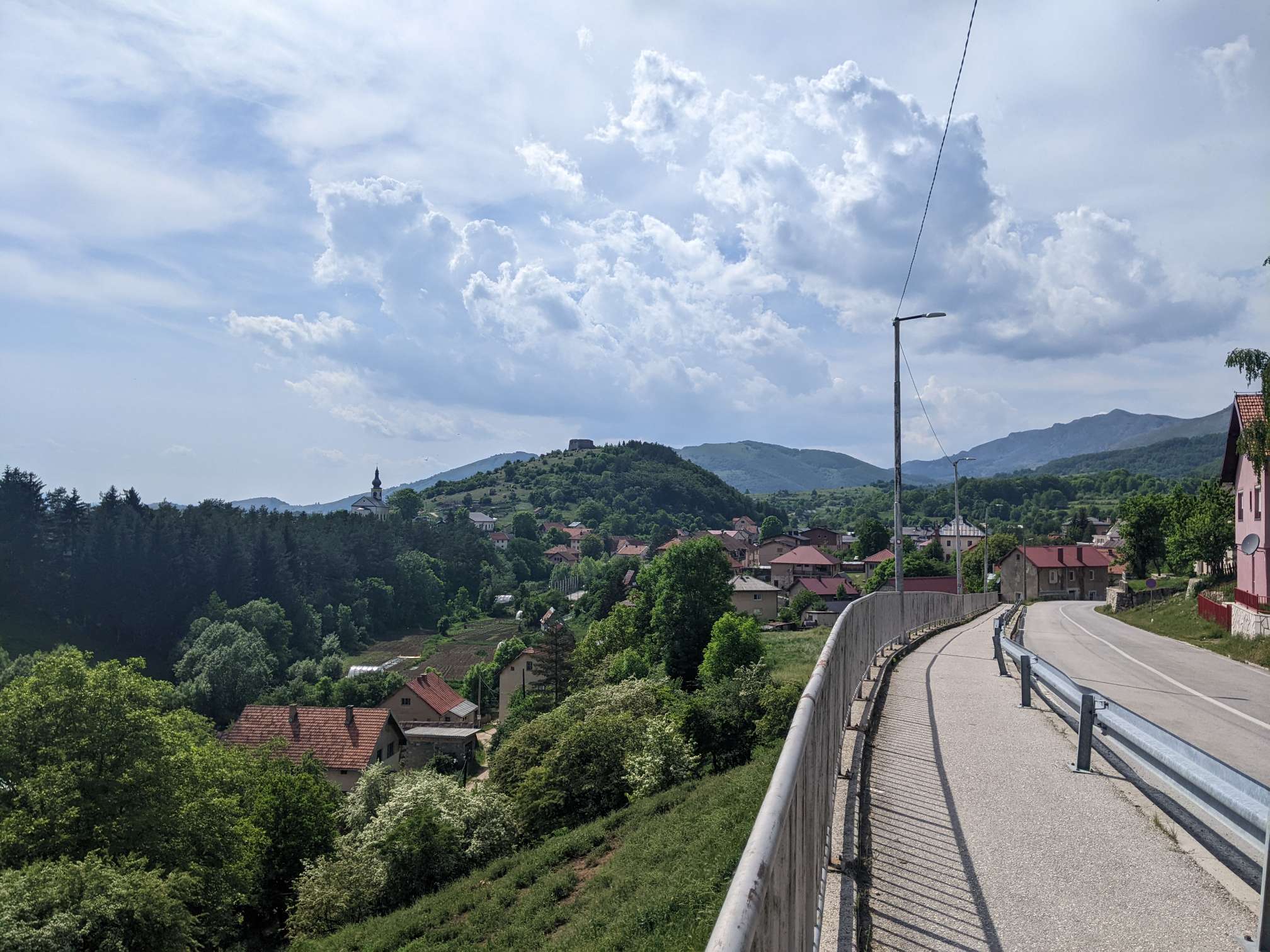
The last couple of days have felt a bit tough, so I decided to do a slightly shorter day and stay in the town of Kalinovik. I’ve noticed a lot of Serbian symbols/colours/flags in this part of the country, which is interesting.
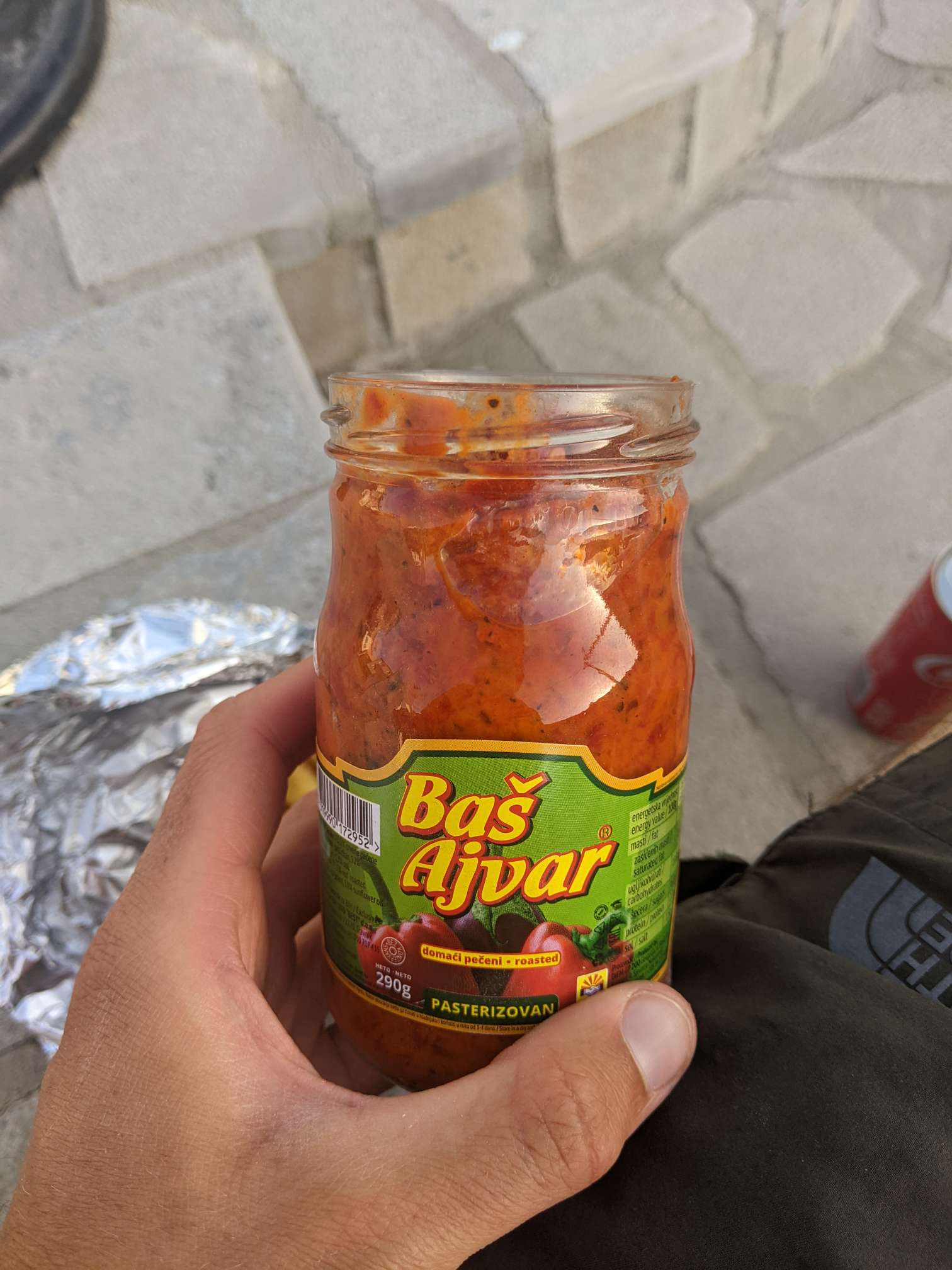
The next resupply stop on the trail is 150km away (3-4 days), but the food options here are just awful. I haven’t found anything good for meals at all. So in a couple of days I’m going to try and hitch to Mostar, since I was thinking about visiting it anyway, and that way I can also get some better food.


Well done Ben , sounds like it is tough at times, especially if food gets low . You are doing great ! What stunning scenery , with a distinct lack of people.
Much love x
Thanks
Hopefully you can find some good food- say if you need a food parcel sent out! 😊
Thanks. The local food is good, but the village shops didn’t have much hiking food.
Is there still pizza everywhere?..
I am now in Canada but checking your blog everyday. Keep up the good work. Stay cool.
Actually less so, with regards to pizza. Perhaps in the cities.
Thanks Steve, I hope you’re enjoying being at home.