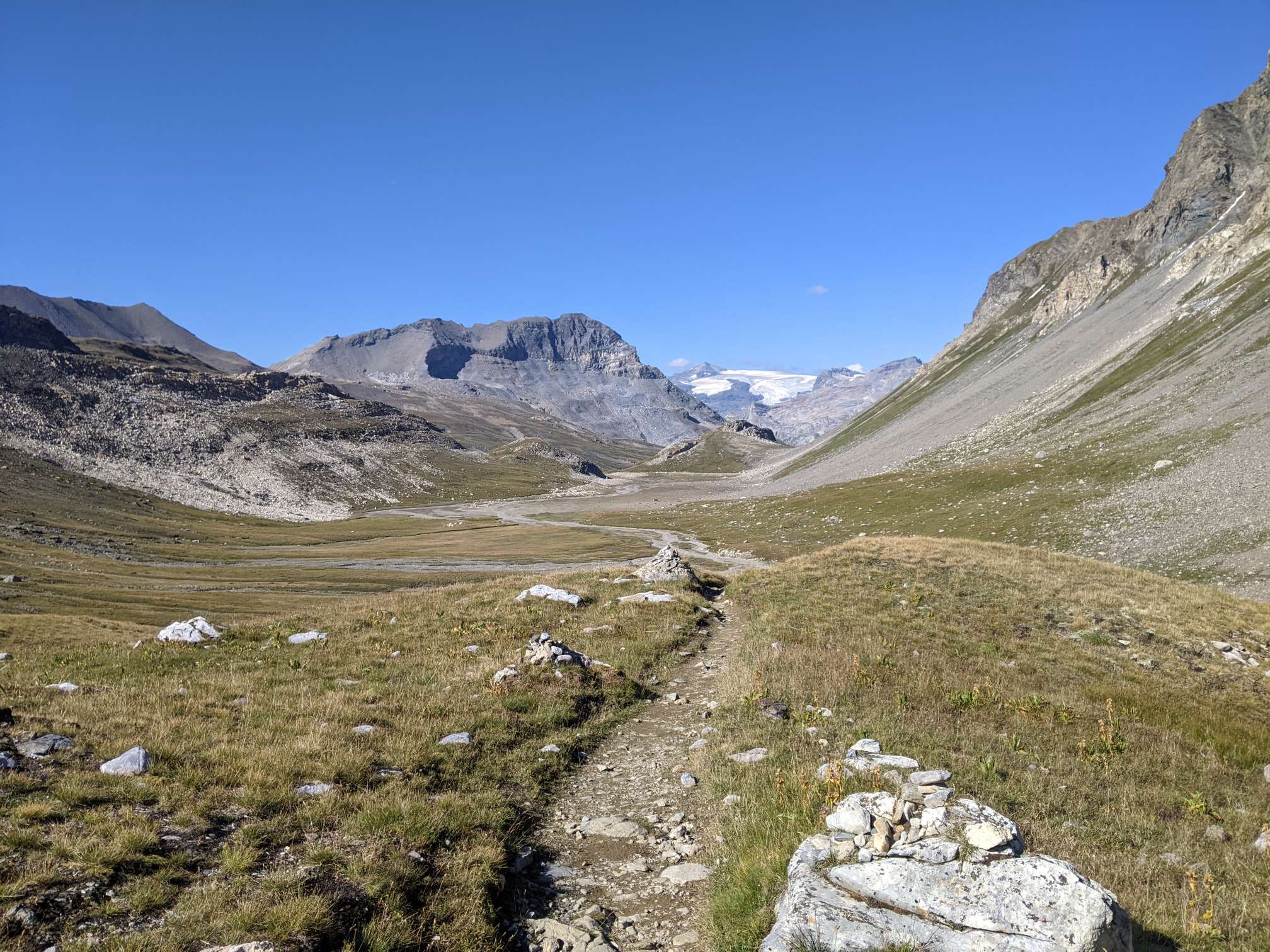
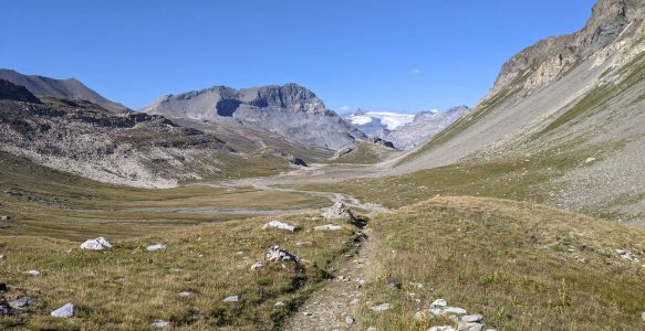
I thought it might be a nice idea to write a short post collecting together some notes and advice for those of you thinking about hiking the TEAR. This is kind of an “odd sock drawer” for thoughts and ideas that didn’t really fit anywhere else but didn’t justify having their own posts.
Phone
I already talked about my plans for mobile data/sim cards in my planning post, but I think it makes sense to go over it here as well. This was my phone strategy that worked out okay:
- EU Countries – I had EU sim card for all countries that are EU members. This will be enough for most of the way, including Bulgaria and from Croatia until the end (minus Switzerland).
- Non EU Balkan countries – Once I arrived in Serbia (at Dimitrovgrad) I took a bus to the larger nearby town of Pirot. There are a few mobile phone provider stores there and I ended up going with A1, but I’m sure any of the major ones would work fine. The shop attendant spoke some English and was very helpful in setting me up with a pay-as-you-go sim card. This sim card worked in the other non-EU Balkan countries besides Kosovo. I can only guess that this was something to do with the Serbia/Kosovo tensions. My phone showed full signal in Kosovo, but it never actually loaded anything. However I was only in Kosovo for a few days, so it wasn’t a big problem.
- Switzerland – Whilst Switzerland is part of the Schengen free-movement zone, it isn’t part of the EU and EU sim cards don’t work there (well, they do, but you’d get charged a lot of money). However it was very simple to sign up for an e-sim with a Swiss phone provider. What’s even better is that two phone providers (Swype and Digital Republic, at least in 2022) give you the first month of unlimited mobile data for free (cancel anytime). This is perfect for TEAR hikers who will be through Switzerland in a couple of weeks.
Unsolicited Advice
A random assortment of reflections and advice based on my experiences that no one has asked for:
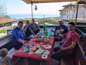
- Don’t be afraid to solicit hospitality – Lots of people are happy to help once they know what you’re doing. Trying to socialise with other human beings along the way can lead to some memorable situations. It’s not always easy, and being a shy introvert myself this is still an area of improvement for me. For example in some populated places I felt like I was forced to ask people if I could camp on their property (due to there not being other options). Some people will say no, but in my experience you’ll find somewhere eventually.
- Learn some languages – Of course this is closely related to the point above. The locals appreciate if you make the effort to at least learn a few words or phrases. My personal recommendation for this is Pimsleur (available as an app) as you jump straight into speaking useful things. Also as it’s an audio course you can practise whilst walking, assuming you aren’t puffing up a hill.
- Take care of yourself – Eat well and give yourself an occasional break (just like I didn’t).
- It’s slower going than you might expect – I’ve already covered this in other blog posts, but I was surprised how much slower my daily average distance was compared to some of my other hikes. You probably won’t crush those PCT miles, and that’s okay.
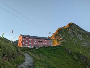
- Alpine club membership – It’s already been mentioned on Dylan’s website, but getting an alpine club membership is a great deal. I think it’s about €30-40 for a year, and you usually get about a €10-20 reduction on alpine club huts so it quickly pays for itself. It also gives you rescue insurance in the mountains. Thankfully I’ve never had to use it, so I don’t know if it really covers you in practise, but I have no reason to believe it doesn’t.
GPS Notes
Along the way I made some notes attached to GPS markers, things I thought might be useful for others. These are intended to be used alongside the GPS data available on Dylan’s website. I’ve chatted to Dylan and given him these files as well to do with as he wishes, so perhaps some of it will already be in the “official” trail notes but I thought I’d provide them here as well just in case.
Hi Ben
Thanks so much for this – I am going out to Bulgaria this April and your blog has been an inspiration and of great practical value. I have one question – money. How much did you carry/easy to get cash/easy enough to pay for things with card? I am also considering a route change to complete the GR11 and then I guess pick up the Camino Norte, then join the Primitivo, which would mean skipping the Cantabrians. Any thoughts?
Thanks again, all best
jack
Hi Jack,
I think in Bulgaria I carried about 200lv, but of course it varied. From what I remember lots of places accepted cards. I think I probably used cash a lot because I needed to use it up. I don’t think the villages had cash machines/ATMs, so I got mine from bigger places (Varna, Sofia).
It’s hard to have a strong opinion on the route change, as it depends what kind of experience you’re looking for. There were some nice parts of the Cantabrians, particularly the Picos de Europa. However the PdE isn’t a huge national park (at least not the route I took across it) so it’s only a couple of days of walking. I think by this point you’ve already seen so much nice mountainous landscape that maybe some coastal walking could be a welcome change. Dylan has some alternate GPS routes that you’ve probably seen that finish the GR11 then follow the Norte but turns south to go the Picos de Europa.
thanks Ben, really good thoughts. I suppose I’ll see how I feel when I get there but I think Camino Norte then PdE is the ideal for me personally.
one more quick question, in the Balkan gap how did you find camping? from your blog i wasn’t sure how often you camped / took hostels / when camping if it was “wild” or asking someone for use of a field or garden, etc. how did you find it?
cheers
jack
So the Balkan Gap was around 14 days for me, and I slept inside 4 times. I think 3 of those were the last 3 nights (Prizren, Gjakova, and then between Bajram Curri and Valbona).
I picked those because there were lots of affordable options, and if I did my usual distances, then I would have ended up around towns.
There were 3 times when I asked people if I could camp there, so this is always an option. However I’m generally shy, and prefer to just find my own quiet place if I can, especially after a long day when I just want to rest.
thanks Ben, mega helpful. we are nearly through the gap now and looking forward to the dinaric Alps.
we’ve another question, sorry to bother you yet again. how did you find dogs (stray or livestock or general farm or otherwise) for the Via Dinarica? a few blogs mention aggressive dogs and others don’t really refer to them at all, would be very glad to hear your experiences.
thanks again for your incredibly useful and interesting blog
I didn’t have big problems with dogs, but I may have gotten lucky. All of the stray dogs I encountered were really sweet and docile.
The worst encounters I had were with farm dogs and sheep dogs, they were often very aggressive and protective of their territory.
Of course you often need to continue on through their territory to get where you need to go. Sometimes it was quite scary, and I guess I’m not naturally that good with animals (perhaps they sense my anxiety). But just ignoring them and acting non-threatening seemed to work for me. Sometimes I would talk to them (I don’t know if this helped).
If a shepherd was in sight they would always come over and call them off. Same with farm dogs, I would just try and be friendly with the owners.
I hope it’s going well. All of the best on your adventure.
Do you have an actual odd-sock draw?
No haha. I think they wear out before I get a chance to lose one.